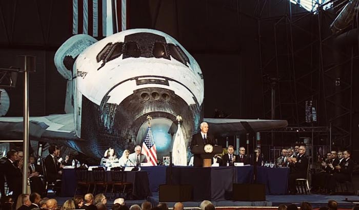
Space Council Focuses on Regulatory Reform
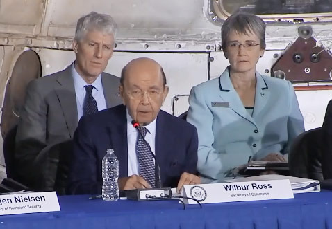
Today, Secretary of Commerce Wilbur Ross participated in the second meeting of the National Space Council, held at the Kennedy Space Center in Florida. Among other things, the Council approved a set of recommendations to the President for regulatory reforms …